
Arthur's Pike - Lake District Walk
Sunday 9th March 2008
Weather-wise we experienced everything today but as most of the walk was done under a dry sky we certainly weren't complaining. The weather men had suggested that the east of the Lake District would have the most sunshine so we ignored all the walks we had planned to do on this break and headed east to enjoy a gentle walk up to Loadpot Hill and back along the High Street Roman Road.
Start: Roehead (NY 4788 2360)
Route: Roehead - Barton Fell - Arthur's Pike (229) - Bonscale Pike (230) - Swarth Fell (231) - Loadpot Hill - High Street Roman Road - Roehead
Distance: 8.5 miles Ascent: 531 metres Time Taken: 4 hours 35 mins
Terrain: Easy to follow tracks across moor land.
Weather: Sunshine, rain and sleet.
Pub Visited: Brackenrigg Inn, Watermillock Ale Drunk: Theakston's XB
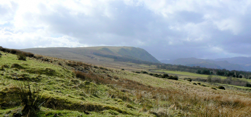
Looking across Barton Fell towards Arthur's Pike.
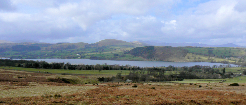
Little Mell Fell seen across Ullswater.
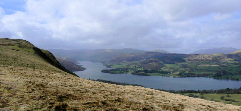
Looking towards the Gowbarrow Fells.
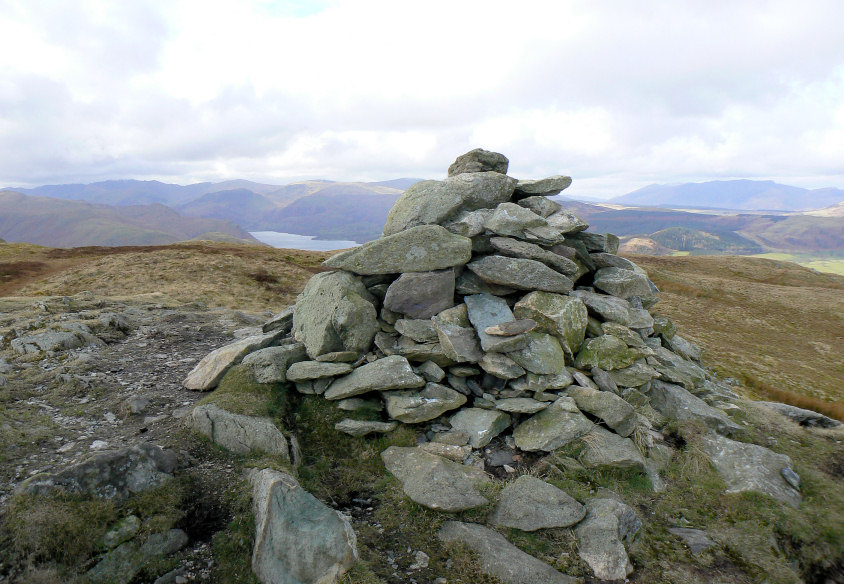
Arthur's Pike summit cairn. It was bitterly cold up here.

Blencathra clear of cloud from Arthur's Pike summit.
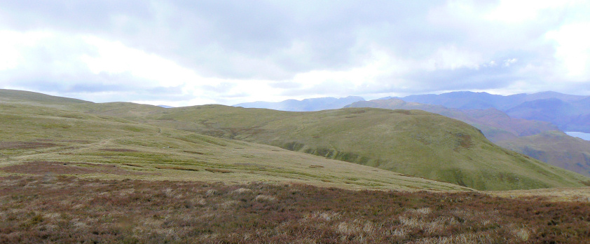
The path we followed to the next summit, Bonscale Pike, is just about visible to the left of the picture.
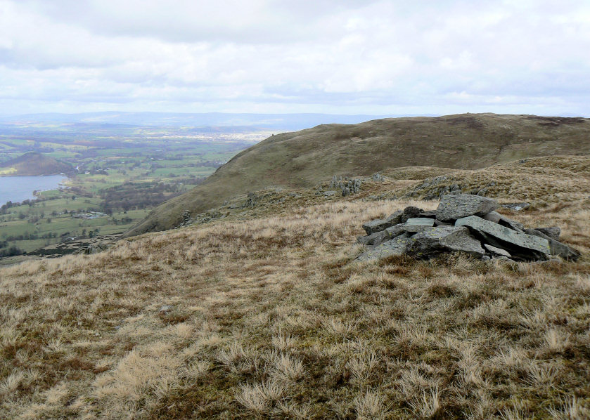
Bonscale Pike's summit with Arthur's Pike behind.
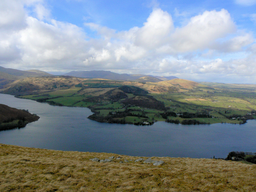
Blue sky over Blencathra whilst we were on Bonscale's summit, but still bitterly cold.
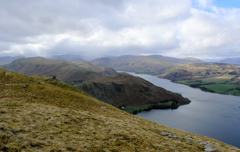
At the same time snow showers are starting to obscure the view of Helvellyn.
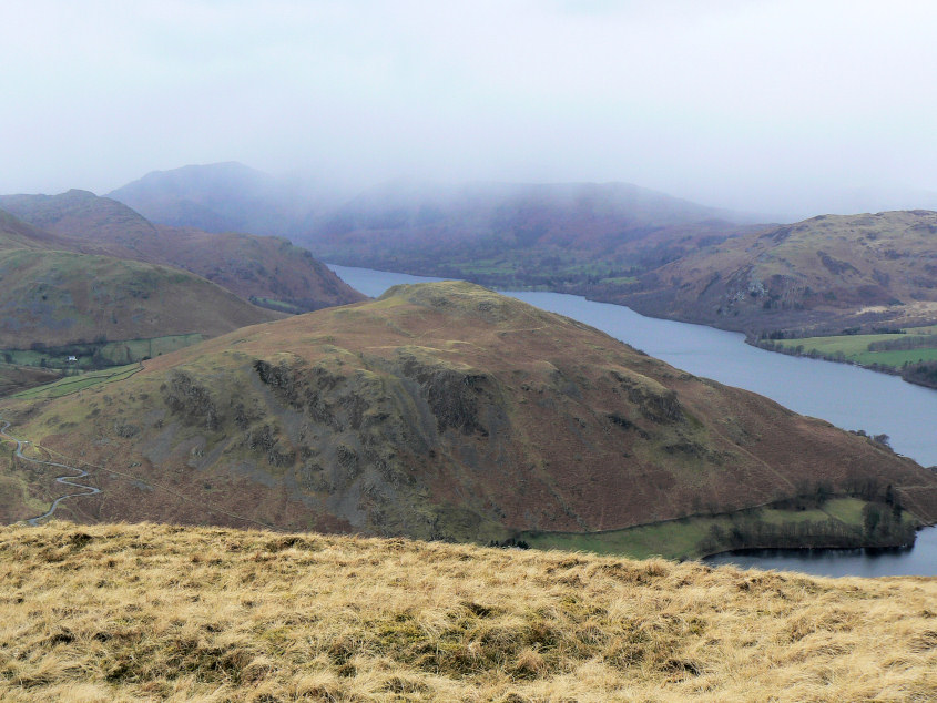
Hallin Fell.
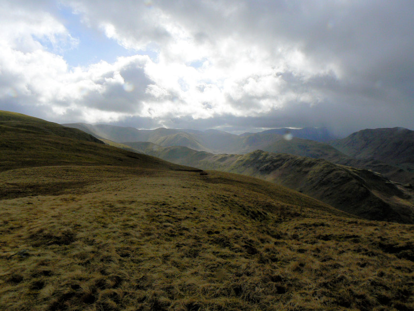
Sunshine and showers as we look over Steel Fell on route to Swarth Fell.
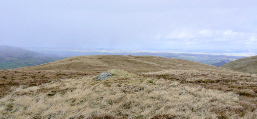
Swarth Fell's summit just before the first snow shower reaches us, just in time for our lunch break.
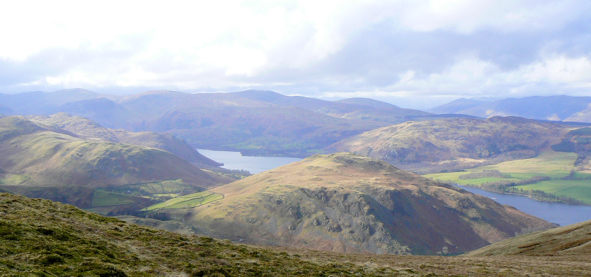
Hallin Fell bathed in sunshine now the snow shower has passed over.
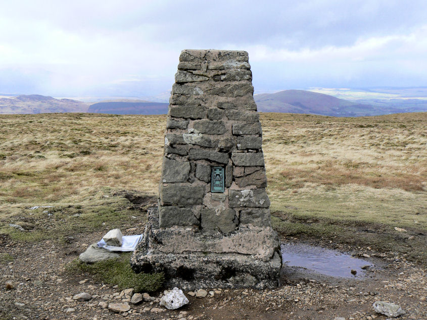
Loadpot Hill's summit.
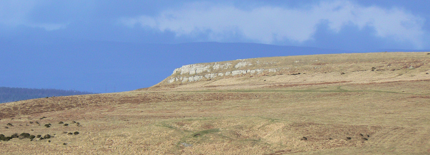
Heugh Scar as we follow the High Street Roman Road back to the car.
All pictures copyright © Peak Walker 2006-2023